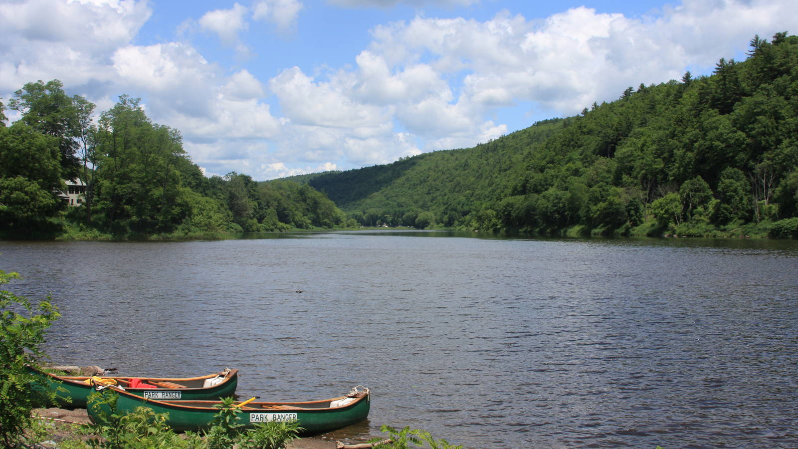
Envisioning the future of the Upper Delaware River Corridor

Visualizing “Build-Out” in the Upper Delaware River Corridor
Envisioning the future of the Upper Delaware River Corridor
See more ›In 2020, NPCA received a grant from William Penn Foundation to support the NPS at Upper Delaware Scenic and Recreational River and the Upper Delaware Council (UDC) in their work to enforce the Upper Delaware Scenic and Recreational River Land and Water Management Plan. As part of this work, NPS and UDC work with the river corridor towns and townships in New York and Pennsylvania to encourage appropriate zoning and development that protects the region from climate impact and sustains the region’s rural character and outdoor recreational economies.
NPCA worked with Shippensburg University’s Center for Land Use and Sustainability to develop a visualization project that aims to look at current development and the potential for future development in the river corridor. It is anticipated that this project will provide another tool for communities in the Upper Delaware River corridor to utilize in the zoning permitting process and development of new comprehensive plans that will sustain this unique region into the future.
-
General
-
- NPCA Region:
- Mid-Atlantic
-
Issues
-
Press Release
New Report Explores Future Opportunities for a Restored Mississippi River
Our "Reimagining the River," report reveals opportunities to expand recreation, strengthen community connections, and generate economic benefits for the Twin Cities region.
-
Press Release
Senate Committee Advances Critical Bill to Fix National Parks
"As America approaches its 250th anniversary, there’s no better way to honor this milestone than by investing in the places that protect and tell our shared history." - Emily Douce,…
-
Press Release
Coalition Files Suit, Unites to Save West Potomac Park from Unlawful Trump Transformation
Irreplaceable National Park Site Threatened By Proposal for Another Trump Construction Project

