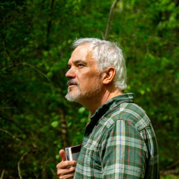
NPCA works to preserve landscapes and wildlife in the East’s last fully connected wilderness with its Safe Passage initiatives.
Stretching 2,197 miles from Georgia to Maine, the Appalachian National Scenic Trail is arguably the most well-known hiking trail in the U.S., and perhaps the world. Known as “the A.T.,” it’s also the last remaining fully connected wilderness corridor in the eastern United States. It became a unit of the National Park Service in 1968 with the passage of the National Trails Act, a law that enabled the U.S. government to purchase land to protect the trail corridor. Today, 99% of the trail is in public ownership as it passes through:
- Six national parks, including Great Smoky Mountains and Shenandoah
- Eight national forests, including North Carolina’s Nantahala and Pisgah national forests
- More than 80 municipally owned lands, including New York’s Sterling Forest State Park and Maine’s Baxter State Park

The Appalachian National Historic Trail, as it cuts through Great Smoky Mountains National Park.
NPS/Christine HoyerBorn of Benton MacKaye’s 1921 vision, which came to him atop Vermont’s Stratton Mountain, the A.T. attracts more than 3 million visitors annually. More than 3,000 people attempt to “thru-hike” the entire footpath in a single year, something I did myself in 2000.
Yet this corridor is also a thoroughfare for wildlife — from the Great Smoky Mountain’s iconic black bears to elk, white-tailed deer and bobcats. This landscape is their home range. The A.T. is managed by the non-profit Appalachian Trail Conservancy (ATC), which ensures the trail is protected and maintained along with the support of 31 trail clubs that organize volunteers to help maintain the tread and clear the trail of downed trees.
As NPCA’s Southern Appalachian Director, I work closely with the ATC and serve on the steering committee of its Appalachian Trail Landscape Partnership (ATLP). The ATLP is a large landscape conservation project that seeks to connect with adjacent communities and protect biodiversity, water, land and views beyond the narrow trail corridor. Taking a watershed approach, this effort focuses on landscape connectivity, which is vitally important for wildlife.
Here in the Southeast, since 2017, we have been working collaboratively with state, federal, Tribal and nonprofit organizations to improve wildlife’s ability to safely cross Interstate 40 in Tennessee and North Carolina. The project, known as Safe Passage, is focused on a 28-mile stretch of highway. The A.T. crosses that busy corridor near the state line.
Thinking of the roadways as obstacles, such as the bears and other wildlife do, NPCA and our partners at Wildlands Network conducted three years of research on I-40 in which we used more than 120 wildlife cameras, fit elk with GPS collars, and conducted weekly driving surveys looking for wildlife carcasses. That research resulted in evidence-based recommendations for the Tennessee and North Carolina Departments of Transportation (TDOT and NCDOT). Already, a number of these recommendations have been implemented by NCDOT, but funding is required to implement some of the bigger projects, such as wildlife overpasses.
I spend a good bit of time with partners in Raleigh, North Carolina, talking to legislators in the North Carolina General Assembly. In 2023, we secured a $2 million dollar appropriation for I-40. These funds are being used by NCDOT to conduct feasibility studies for some of our recommendations.
In 2025, we are seeking a $10 million annual appropriation for wildlife crossings, statewide. That includes resources to enhance wildlife’s ability to safely cross Interstate 26, near where the A.T. crosses at Sam’s Gap. The N.C. Senate released their budget in April, and it contains $5.1 million proposed funding for both FY25-26 and FY26-27. If you live in North Carolina, please contact your representative in the N.C. House of Representatives and express your support for wildlife crossings. You can find your legislator here.
Thinking of the roadways as obstacles, such as the bears and other wildlife do, NPCA and our partners at Wildlands Network conducted three years of research on I-40.
When the A.T. was completed in 1937, there was no interstate, and all that hikers could see from Sams Gap were high-elevation balds and vast tracts of wilderness. Animals moved freely across the landscape to forage, breed and raise their young.
Today at this location, I-26 — with its 8,000 to 10,000 cars and trucks that pass each day — bisects these animals’ ancestral pathway. Those that risk crossing it often are killed in collisions with vehicles, which puts people at risk, too. For others, the road creates a barrier that weakens their genetic diversity and chances for survival as a species.

Helene Recovery, 7 Months After the Storm
Recovery is underway at national park sites hit hard by Hurricane Helene in September 2024. We offer updates as visitors consider spring and summer travel.
See more ›Through our work, NPCA has identified the need for new structures and wildlife fencing to improve the efficacy of two under-performing underpasses constructed for these creatures.
This month, I joined dozens of partners in Roanoke, Virginia, for the ATLP annual meeting. There, I championed the need for a proactive approach to wildlife crossings on highways that cross the Appalachian Trail, not just in the Southeast but all the way to Maine.
NPCA membership supports and enables this important collaborative work. Without members and supporters, we couldn’t conduct research and advocacy or travel to ATLP meetings to support wildlife crossings. We’re counting on being able to build improved crossings along the A.T. so these beloved park animals can survive and thrive.
Stay On Top of News
Our email newsletter shares the latest on parks.
About the author
-
 Jeffrey Hunter Southern Appalachian Director, Southeast, Southeast
Jeff Hunter is the Southern Appalachian Director with National Parks Conservation Association (NPCA) in Asheville, NC where he works on issues related to Great Smoky Mountains National Park, the Blue Ridge Parkway, and the Appalachian National Scenic Trail.
-
General
-
- NPCA Region:
- Southeast
-
Issues


