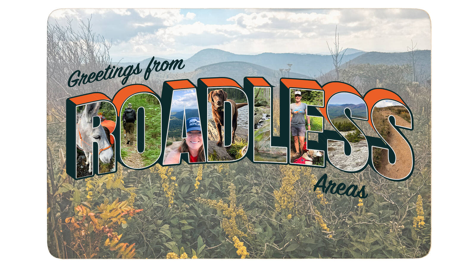
What do designated roadless areas look like and what do they mean to national parks? NPCA colleagues share their experiences from walks through three roadless woods.
There is a lot of discussion these days about roadless areas — and for good reason, as NPCA and many others are fighting a proposal by the Trump administration to end roadless rule protections for more than 45 million acres of national forestland.
The U.S. Forest Service finalized the Roadless Area Conservation Rule in 2001 after years of public outreach and overwhelming support. This rule ended industrial-scale logging and roadbuilding on the country’s remaining undeveloped national forests lands, while allowing some timber management activities to prevent wildfires.
Keep the Roadless Rule
Urge the U.S. Forest Service to keep the Roadless Rule in place and protect the public lands, wildlife, clean water, and national parks that depend on it.
Take ActionThe health of many of our national park sites relies on the ecosystems that surround them — an NPCA analysis found nearly 30% (17.5 million acres) of designated roadless areas are within 30 miles of national park lands.
America’s designated roadless areas must not become mere memories in camera rolls and on faded postcards. Here’s a snapshot of what’s at stake if we lose these precious areas.
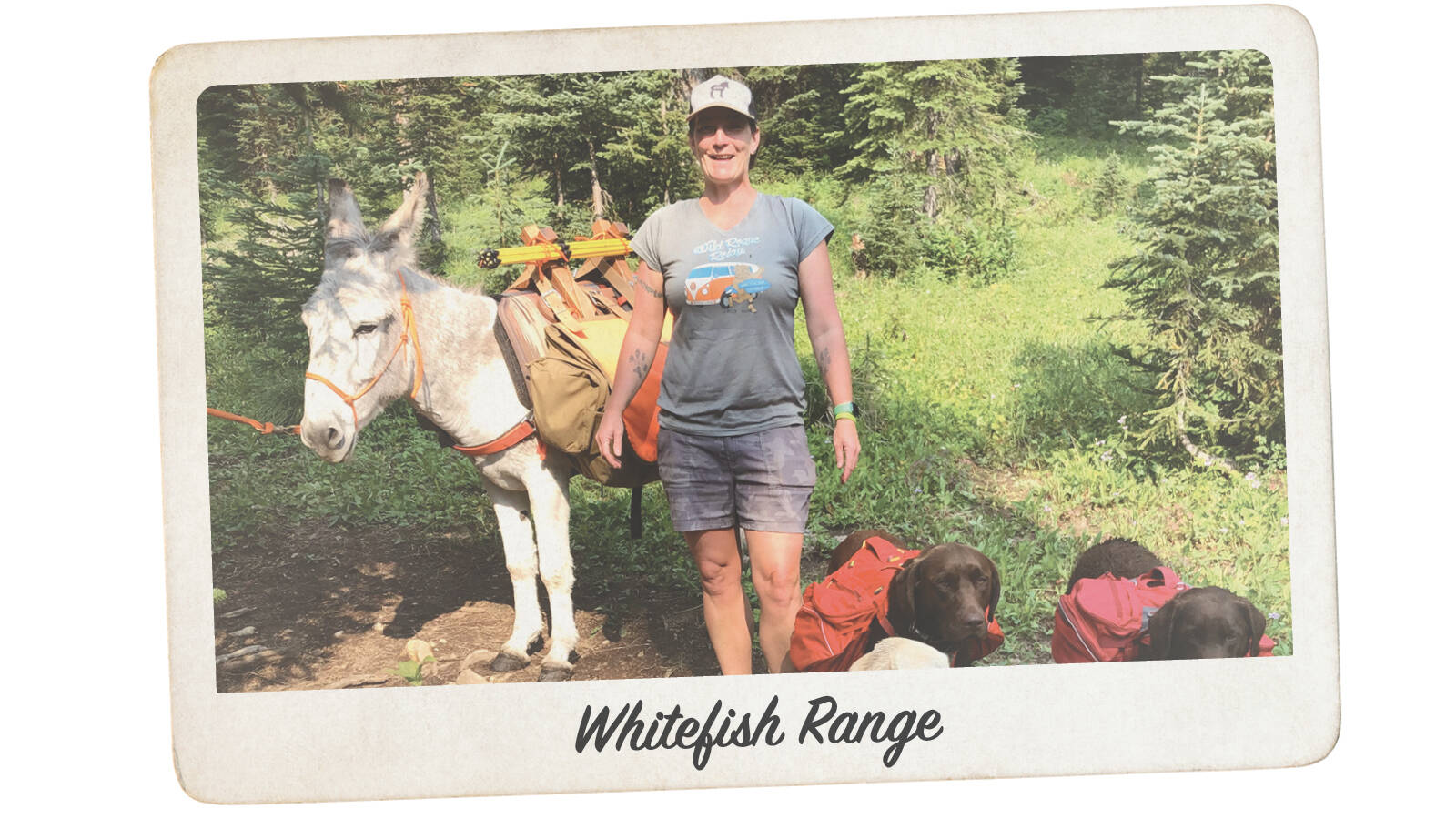
Greetings from the Whitefish Range
Park Connection: Glacier National Park
My family, including three dogs and a donkey, spent four glorious summer days backpacking and exploring the northern Whitefish Range, near Glacier National Park. We didn’t see another human the entire time, but this roadless area in nature put on a full sensory display for us.
When I think of what this roadless area looks, tastes and feels like, I think of my silly burro, Mr. Frederickson, who showed off his jumping skills by leaping over dozens of tiny creeks to keep his precious hooves dry. Roadless areas taste like fresh huckleberries picked and dropped into pancakes. It looks like otters thriving in these healthy forests, in areas higher than I’ve ever seen and miles from the nearest big body of water. It’s the feel of my pack on my shoulders and cold mountain lakes to splash in after long days on the trail. (Mr. Frederickson watched that last part safely from the shore.) And it’s the sound of my dogs snoring after a day’s adventures.
I feel so lucky to live in Whitefish, Montana, where this backcountry adventure in a roadless area is only a couple of hours away, and where the roadless areas like the Swan Range provide a backdrop that I will never get tired of enjoying — and speaking up for!
— Sarah Lundstrum, senior program manager, Glacier
What’s at Stake: The Roadless Area Conservation Rule currently covers 6.4 million acres in Montana, with almost 1.4 million of those acres within 100 miles of Glacier. Wildlife, from grizzly bears and elk to salmon to songbirds, relies on connected and roadless landscapes and waterways for habitat, food and shelter as species travel within and outside of park boundaries.
Designated roadless areas provide people with opportunities for hunting, fishing, hiking, biking and other forms of motorized and non-motorized recreation. Roadless areas also support livestock grazing for ranchers.
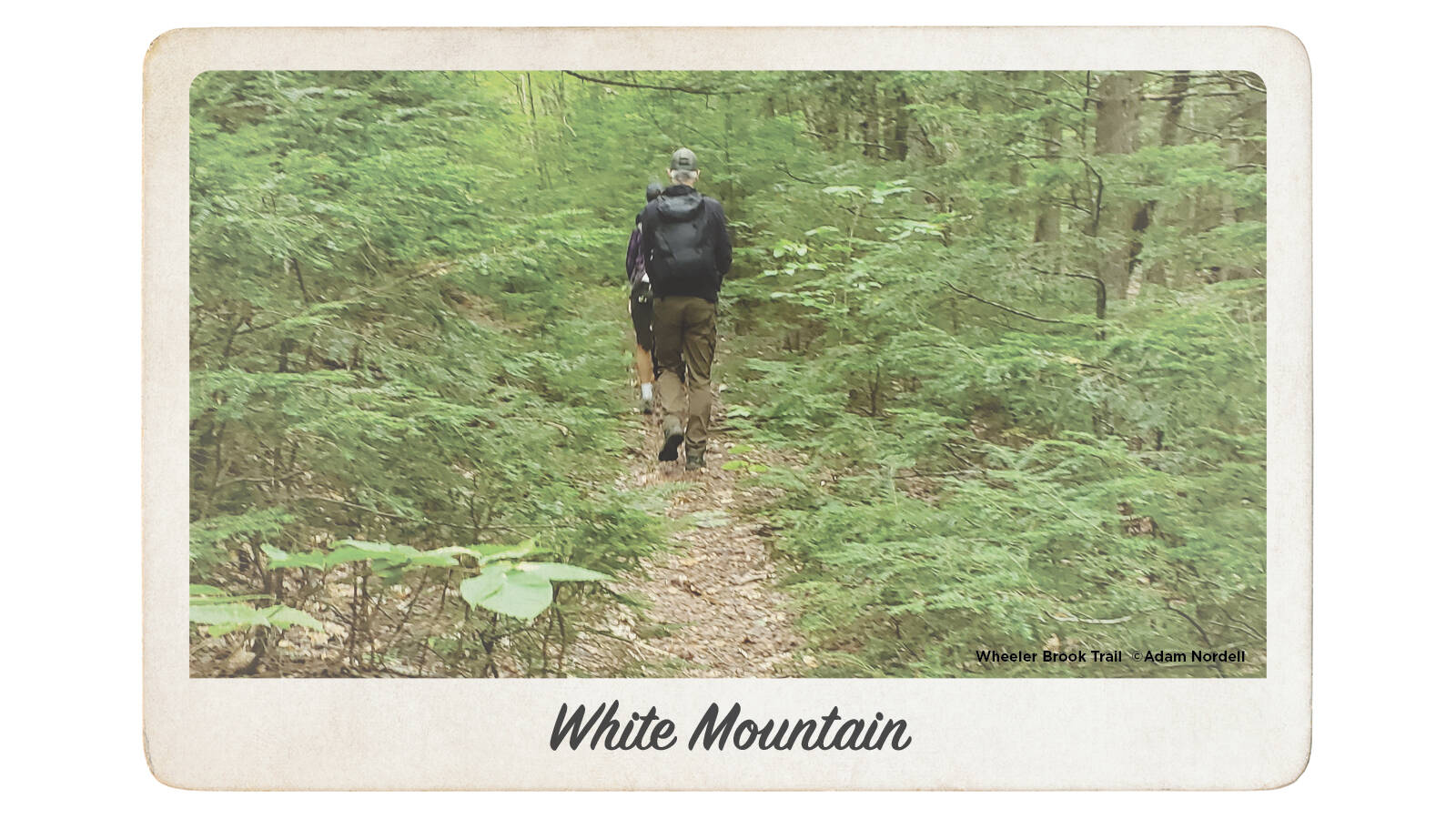
Greetings from the White Mountain National Forest
Park Connection: Appalachian National Scenic Trail
It’s mid-September in western Maine’s Caribou-Speckled Wilderness in the White Mountain National Forest — the state’s largest wilderness area — and I can feel the season changing from summer to autumn. A crisp morning, with leaves beginning to turn red, yellow and orange — the perfect day for a hike. The roadless rule provides protection from logging and development on 5,988 acres adjacent to the wilderness, so it was just me and nature on today’s 8-mile loop on the Mud Brook to Caribou trail in Evans Notch.
I hiked uphill through the morning to the summit of Caribou Mountain and was rewarded with 360-degree views of the Mahoosuc and Presidential mountain ranges, Kezar Lake and the Cold River Valley. I saw signs of moose, black bear and white-tailed deer along the trail and wished I had brought my swim trunks and quick-dry towel for a refreshing dip in Morrison Brook, which I followed during my descent. The clean, cool water and waterfalls along the way gave the reprieve I needed from the big hike up and gave me time to sit and take stock of how special this place is — and how its roadless protection didn’t happen by accident.
— Todd Martin, Northeast senior program manager
What’s at Stake: Eliminating the roadless rule leaves parks and surrounding landscapes more vulnerable to roadbuilding, oil and gas drilling, mining and other harmful development. Without the roadless rule, national parks and communities far beyond will become more susceptible to climate impacts, deteriorated air and water quality, biodiversity reductions, and marred viewsheds and soundscapes.
NPCA and other conservation groups believe eliminating the roadless rule, combined with the Trump administration’s other actions to advance extraction on public lands and eliminate protections for threatened and endangered species, would be a recipe for destruction.
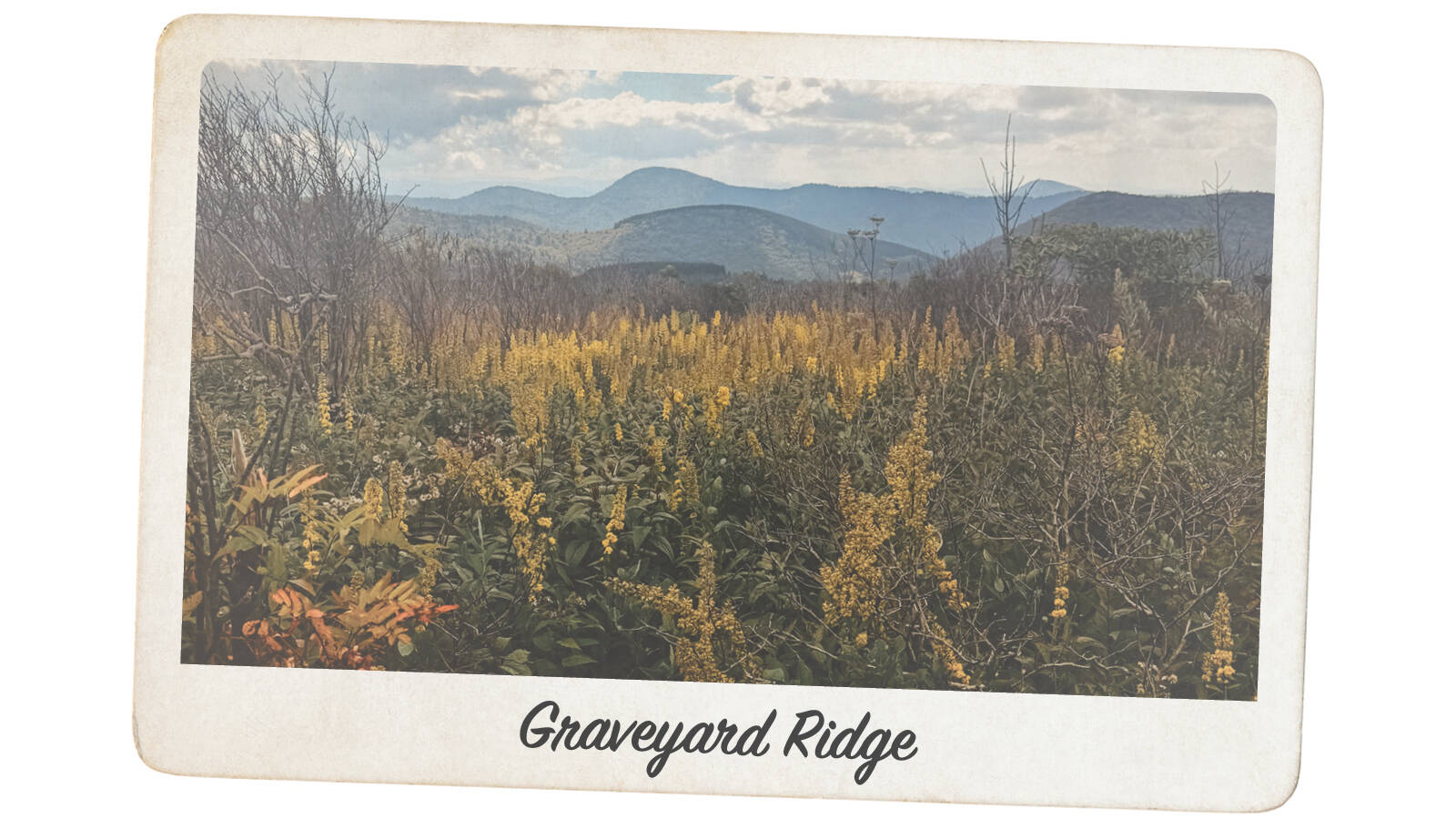
Greetings from Graveyard Ridge Roadless Area
Park Connections: Blue Ridge Parkway
Don’t let the name fool you — my magical summer adventures were full of life! My drive along the Blue Ridge Parkway in western North Carolina took me to where the roads end and the trailheads start, to Black Balsam Knob and Tennent Mountain. The thick alpine forest smelled of pine and sweet balsam fir as I walked through the lower section of the Art Loeb Trail. I emerged into a sun-warmed meadow of goldenrod and purple asters, where I was accompanied by a symphony of bees. Magical, I tell you!
As I continued up, the rocky outcropping of Black Balsam Knob gave way to uninterrupted views of the Balsam Mountains, where fall colors were just starting to shine. It’s wild to think that nearly 17 million people visit the Blue Ridge Parkway each year — and yet, I had a good portion of my hike to myself. It wasn’t quiet or lonely, though, since I had a serenade of birdsongs and signs of other wildlife, like the muddy black bear pawprint I found. So many people think of the western U.S. as the only place with wide open spaces. I’m here to say, come visit North Carolina or anywhere across the Blue Ridge Mountains! While it’s true that roadless areas like these 172,000 acres in the state are a rarity, their value cannot be overstated.
— Olivia Porter, Southern Appalachian landscape project director
What’s at Stake: In Western North Carolina, roadless areas include Wesser Bald Roadless Area, Balsam Cone Roadless Area and Laurel Mountain Roadless Area. These areas comprise parts of the Pisgah and Nantahala national forests and are adjacent to the Blue Ridge Parkway, Appalachian National Scenic Trail, Great Smoky Mountains National Park and the state’s Mountains-to-Sea Trail.
Stay On Top of News
Our email newsletter shares the latest on parks.
About the author
-
 Kati Schmidt Director, Communications, Alaska, Northern Rockies
Kati Schmidt is based in Oakland, CA, and leads media outreach and communications for the Pacific, Northwest, Northern Rockies, Alaska, and Southwest regions, along with NPCA's national wildlife initiatives.
-
General
-
Issues


-
Blog Post
Fat Bears at a Crossroads
As Fat Bear Week 2026 begins, a proposed mining project in Alaska threatens the future of brown bears.
-
Press Release
Proposed Arctic Mine, Ambler Road Threatens America’s Largest Park Landscape
“All Americans should be outraged that our taxpayer dollars are being wasted to fund international companies that seek to destroy our country’s largest park landscape" -- NPCA Alaska Campaign Director…
-
Press Release
First Mining Claims Filed in Lands Cut from Bears Ears National Monument
"National park units and their surrounding landscapes are no place for energy development, but outdated laws elevate mining above all other uses on these lands. We will continue to fight…